 iDrone
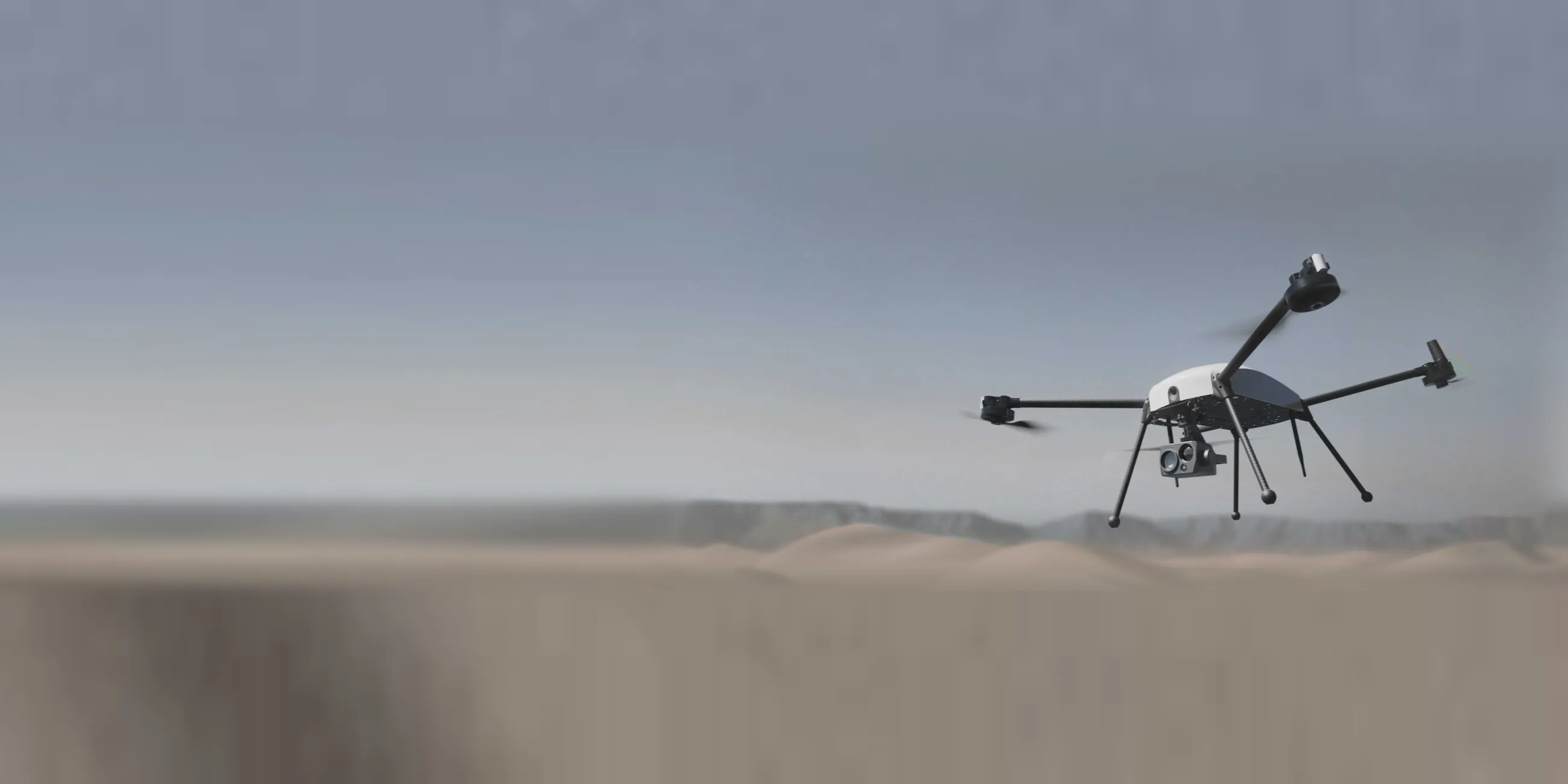
Autonomous aerial surveillance for critical infrastructure.
Drone, docking station and command centre in a single system. Scheduled patrols, alarm response in under 2 minutes and onboard AI detection, with no pilot and no downtime.
 Large perimeter · partial coverage
Large perimeters can’t be protected on foot.
Construction sites, energy parks, mines and terminals stretch across tens of kilometres. Ground teams and fixed CCTV leave blind spots, are slow to respond and don’t scale with the area.
to patrol just 5 km with a ground team.
of ports and industrial sites lack continuous video coverage.
Threats don’t respect schedules, shifts or terrain.
A complete mission, from alarm to recharge, with no human intervention.
The drone lives inside the docking station. When an alarm is triggered or a patrol is scheduled, the system takes off, executes the mission, streams live and returns to swap its battery automatically.
Alarm or schedule
Missions scheduled in the UTM software or triggered by CCTV alarms, sensors or the operator, with a single click.
Automatic triggerImmediate take-off
The station opens, runs the pre-flight checks and the drone takes off towards the point of interest.
< 2 min responseAI-powered patrol
EO and thermal detection and tracking of people and vehicles, live video and alerts in the command centre.
Up to 60 min flightReturn and battery swap
RTK precision landing and robotic battery swap. The drone is ready for the next mission.
3 min · 98% airborneA complete system, integrated from the ground up.
Hardware, communications and software designed to work together, with plug-and-deploy installation and centralised management from any control centre.
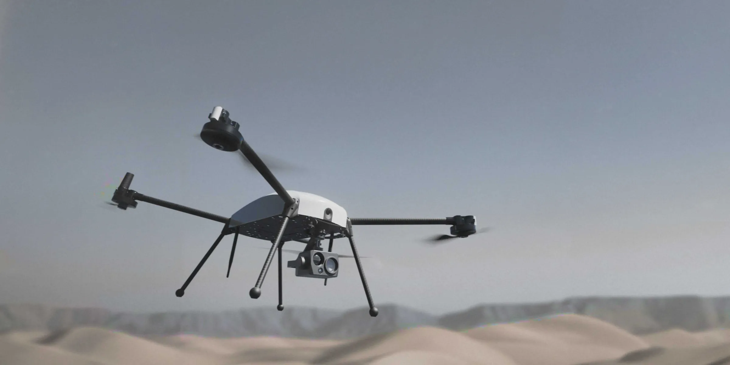
iDroneSecurity AURA
High-performance multirotor with an EO/thermal camera and an onboard NVIDIA computer for real-time analysis.
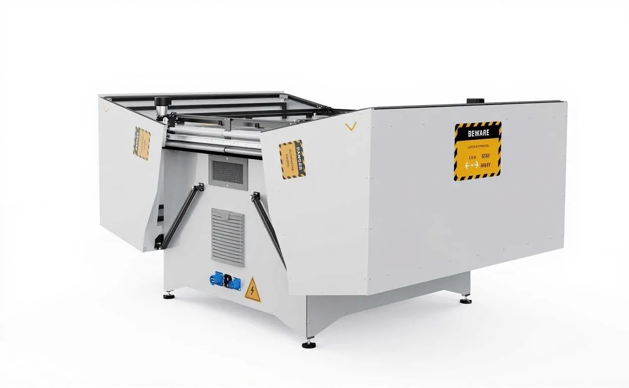
Autonomous hangar
Robotic arm for battery swapping, climate control and weatherproof construction.
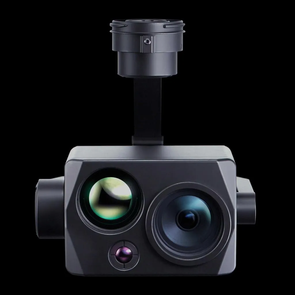
See by day and by night
120x zoom, dual wide/tele thermal and 3-axis stabilisation.
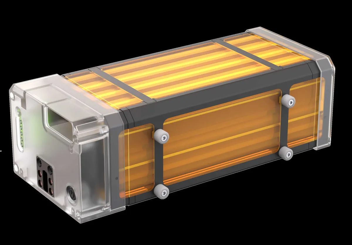
33,000 mAh smart battery
6S LiPo with BMS, cell balancing and a redundant power circuit.
Secure long-range link
RF antenna with a multi-GNSS RTK base station, six bands and frequency hopping.
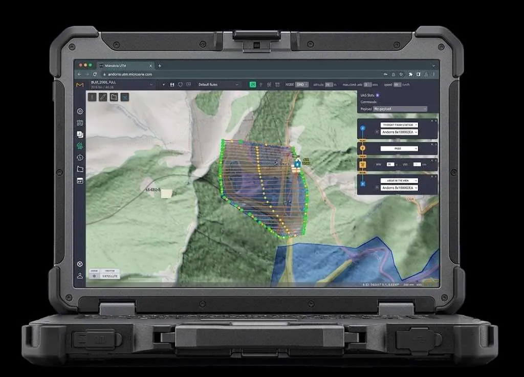
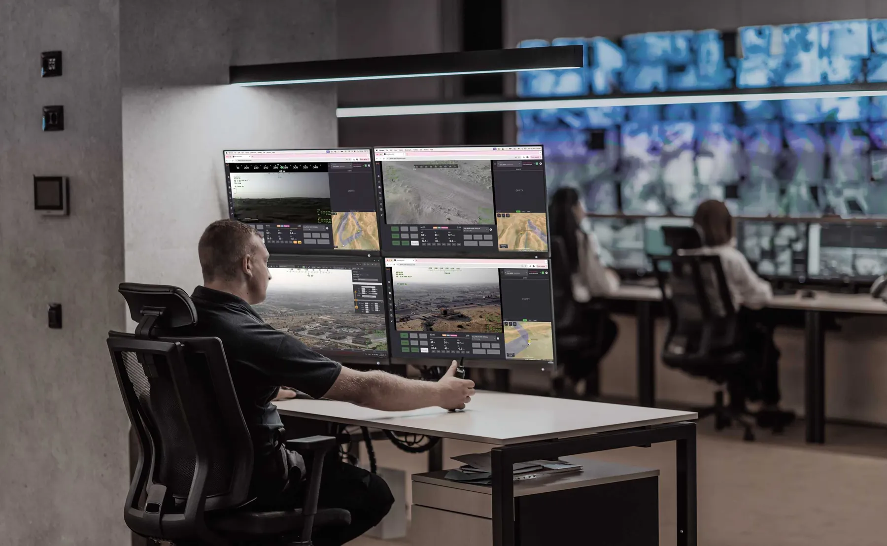
One command centre for the entire fleet
Mission planning, centralised control, geofencing, failsafe protocols, live video and smart alert management. Open API for integration with third-party C2, CCTV and VMS.
AI decides in the air, not in the cloud.
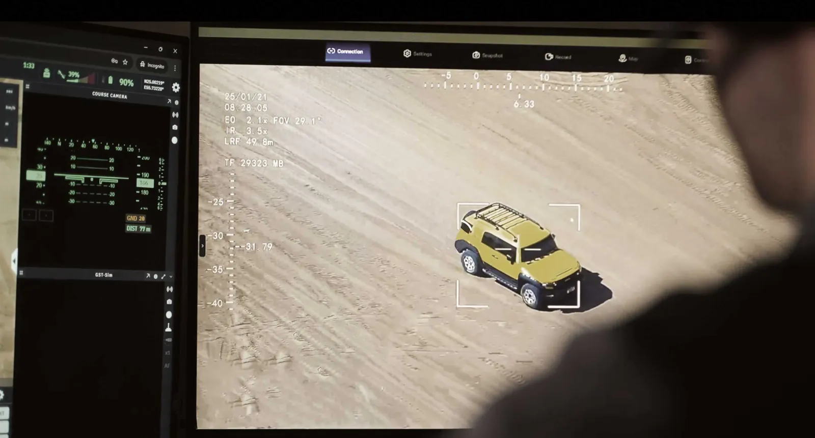
Every drone carries an NVIDIA Jetson Orin NX computer that analyses EO and thermal video in real time. It detects, classifies and tracks targets even with no internet connection.
EO/IR detection and tracking
People and vehicles, object counting, restricted zones and density thresholds. Tracks up to 15,000 targets.
AI visual navigation
Anti-jamming and anti-spoofing. Operates where GNSS is degraded or unavailable.
Secure communications
AES-256, dynamic frequency selection and frequency hopping when interference is detected.
One platform, six critical sectors.
From perimeter security to energy asset inspection, the same system adapts to the mission with dedicated payloads, AI models and flight routines.
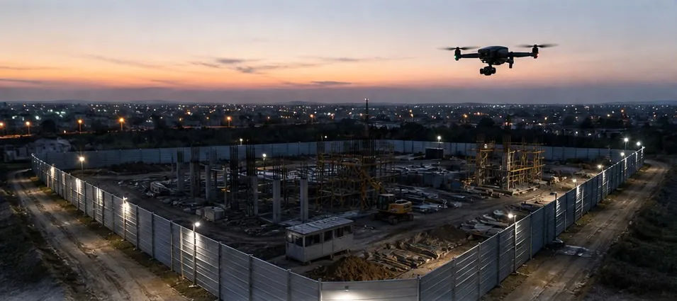
Perimeter and border
- 24/7 AI intrusion detection
- Thermal camera for night operations
- Automatic tracking of suspect targets
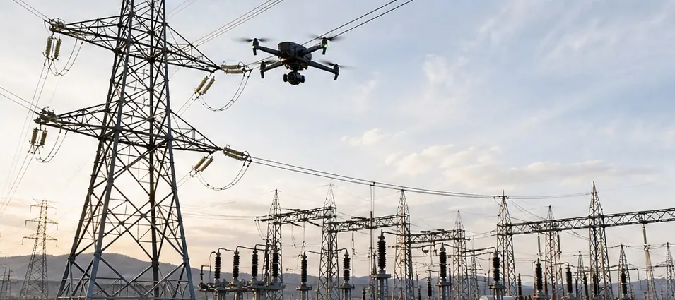
Energy and utilities
- Transmission line inspection
- Thermal detection of overheating
- Remote substation inspection
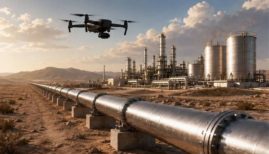
Oil and gas
- Pipeline inspection without shutdowns
- Hydrocarbon leak detection
- Refinery and platform surveillance
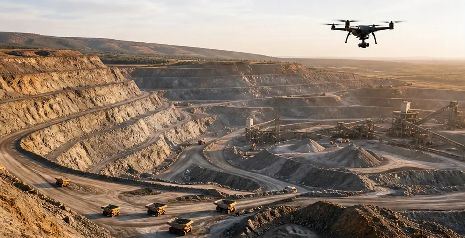
Mining
- Aerial surveying and 3D mapping
- 24/7 illegal mining detection
- Automatic stockpile measurement
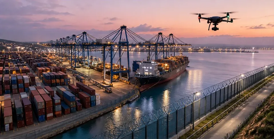
Ports and maritime
- Continuous terminal surveillance
- Thermal detection of container intrusion
- Integration with CCTV and VMS
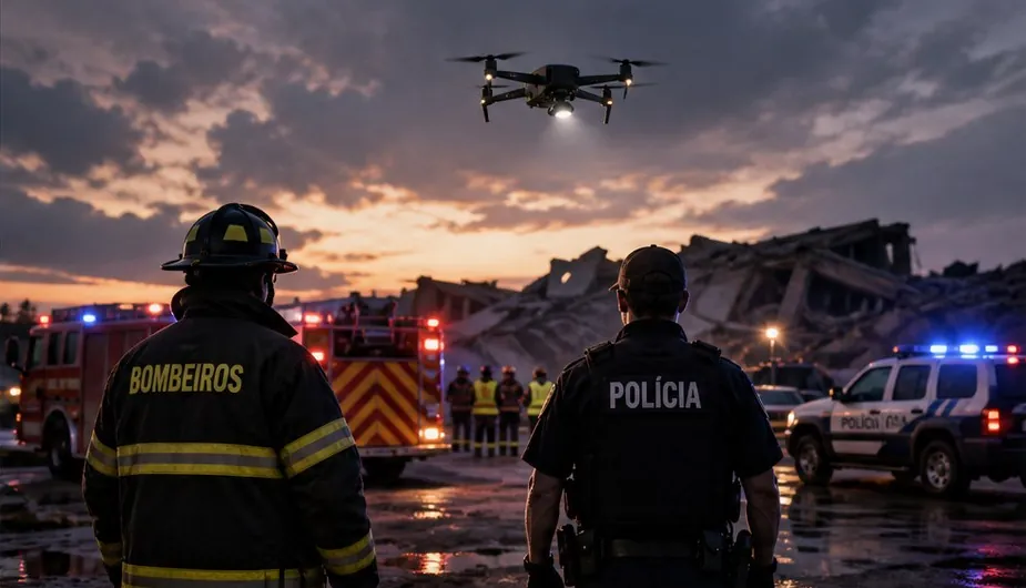
Public safety
- Rapid emergency response
- Thermal search and rescue
- Crowd and event monitoring
From a single site to networks spanning hundreds of km².
Start with one station and add units as your perimeter grows. All of them share the same command centre.
15 km radius · 700+ km² of coverage
- Continuous operation with autonomous battery swap
- Plug-and-deploy installation, grid or solar power
- Low maintenance
Extended coverage, centralised fleet management
- Simultaneous, continuous operations
- Coordinated alerts across units
- Scalable for critical infrastructure
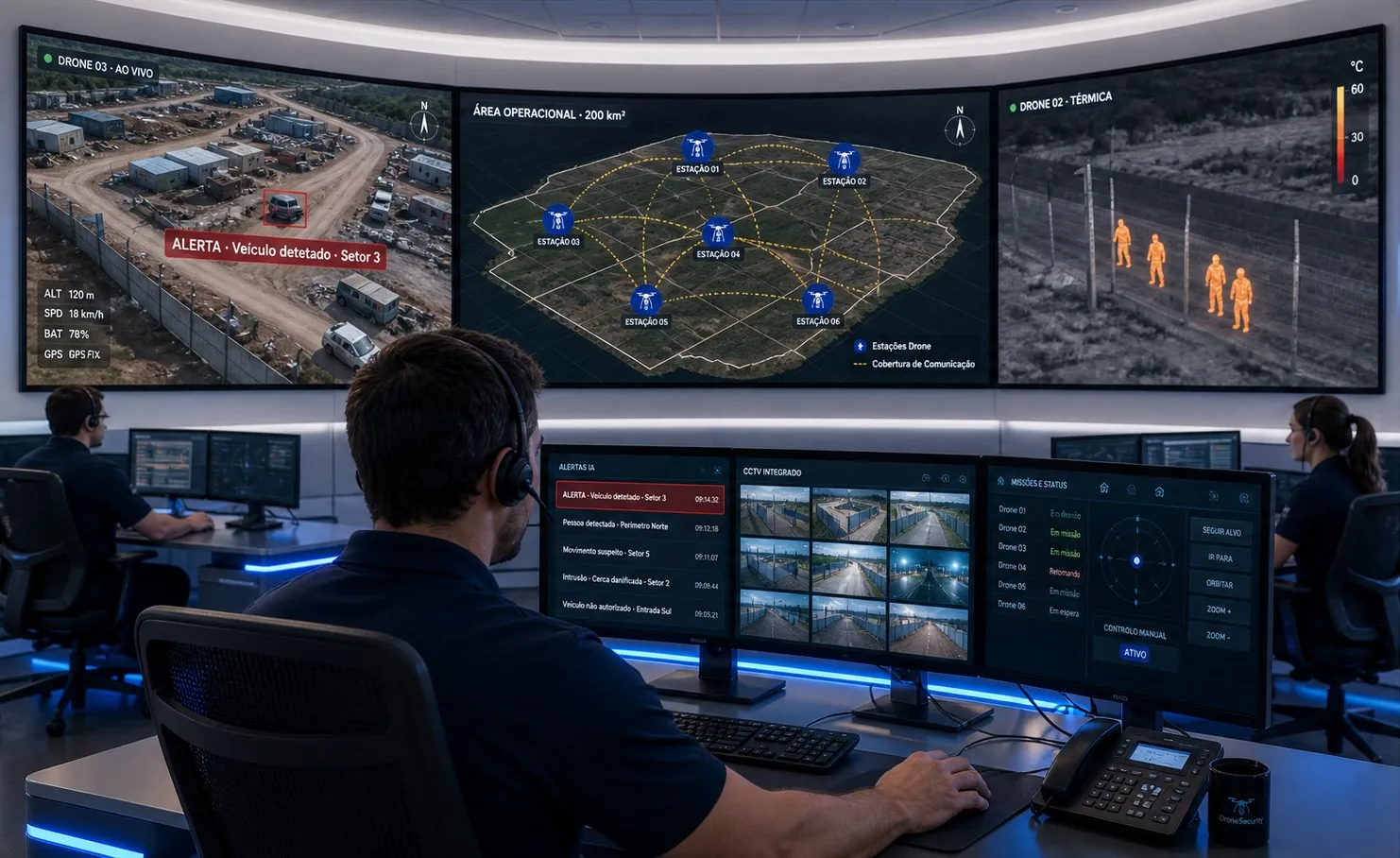
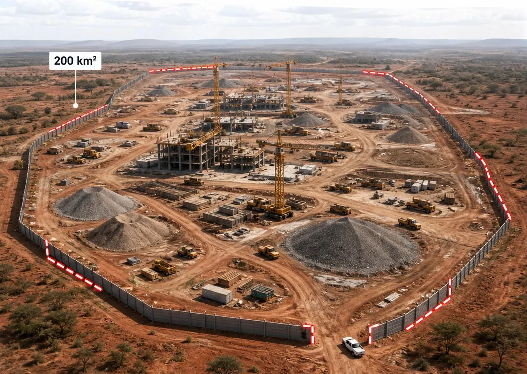
A 200 km² perimeter on a large-scale construction site
Six stations distributed along the perimeter, with overlapping coverage, deliver continuous patrols with no gaps. The entire operation is managed from a single command centre, integrated with the existing CCTV.
A resilient link, tailored to your site.
Choose the communications architecture that best fits your existing infrastructure, or combine both for full redundancy.
From first contact to full coverage in under 90 days.
Site survey
Technical survey of the perimeter, the terrain and the available communications.
Deployment plan
Defining the number of stations, their locations and the communications architecture.
Installation and testing
Physical installation and integration with existing CCTV, VMS and security systems.
24/7 operation
Continuous surveillance with support and agreed service levels (SLA).
What our clients ask.
Does the system need a pilot to operate?
No. Missions run autonomously, from take-off to landing and battery swap. The operator in the command centre supervises, receives alerts and can take manual control at any time, for example to follow a target.
Does the drone work without GPS or under interference?
Yes. AI visual navigation enables operation where GNSS is degraded and protects against jamming and spoofing. Communications use frequency hopping and dynamic frequency selection.
Does it integrate with our existing CCTV and security systems?
Yes. The UTM software provides an open API for integration with third-party C2 platforms, VMS, CCTV and analytics systems. Alarms from those systems can trigger missions automatically.
In what weather conditions can it operate?
The system operates from −35 °C to +60 °C, at altitudes up to 4,000 m. The drone withstands winds of up to 15 m/s, and the docking station is climate-controlled and built for wind, rain and harsh environments.
What infrastructure is required on site?
A clear area of 3 m × 3 m per station, with a 2 m × 2 m base, and a 200–240 V AC power supply (1 kW average consumption) or solar power. The link to the command centre can be via Telebase RF, 4G/5G or both.
How is regulatory compliance handled?
The UTM software includes geofencing, no-fly zones and failsafe protocols to comply with local airspace rules. The regulatory framework for each operation is assessed during the site survey.
Protect your perimeter with autonomous aerial surveillance.
Book a demo and receive a coverage plan tailored to your site.